Widemouth Bay to Pentire Point National Landscape
This section of Cornwall's National Landscape runs from Bude some 30 miles to Pentire Point.
In the north, the surfing beach of Widemouth Bay gives way to the spectacular heights at Crackington Haven and High Cliff - the highest in Cornwall. Inland are the remains of many mines - not only tin and copper but zinc, silver, lead and even wolfram.
Two deep, wooded valleys cut down to sea level at Boscastle where the lower village was rebuilt after the devastating flood of 2004. Above the village is St Juliot's church where a young Thomas Hardy met his first wife Emma.
Several valleys extend far inland creating a folded, secluded landscape, hiding many farming hamlets. Their mild micro-climates, with spring flowers commonplace throughout the year, are in sharp contrast to the open farmland and wild cliffs – both exposed to the fierce Atlantic winds.
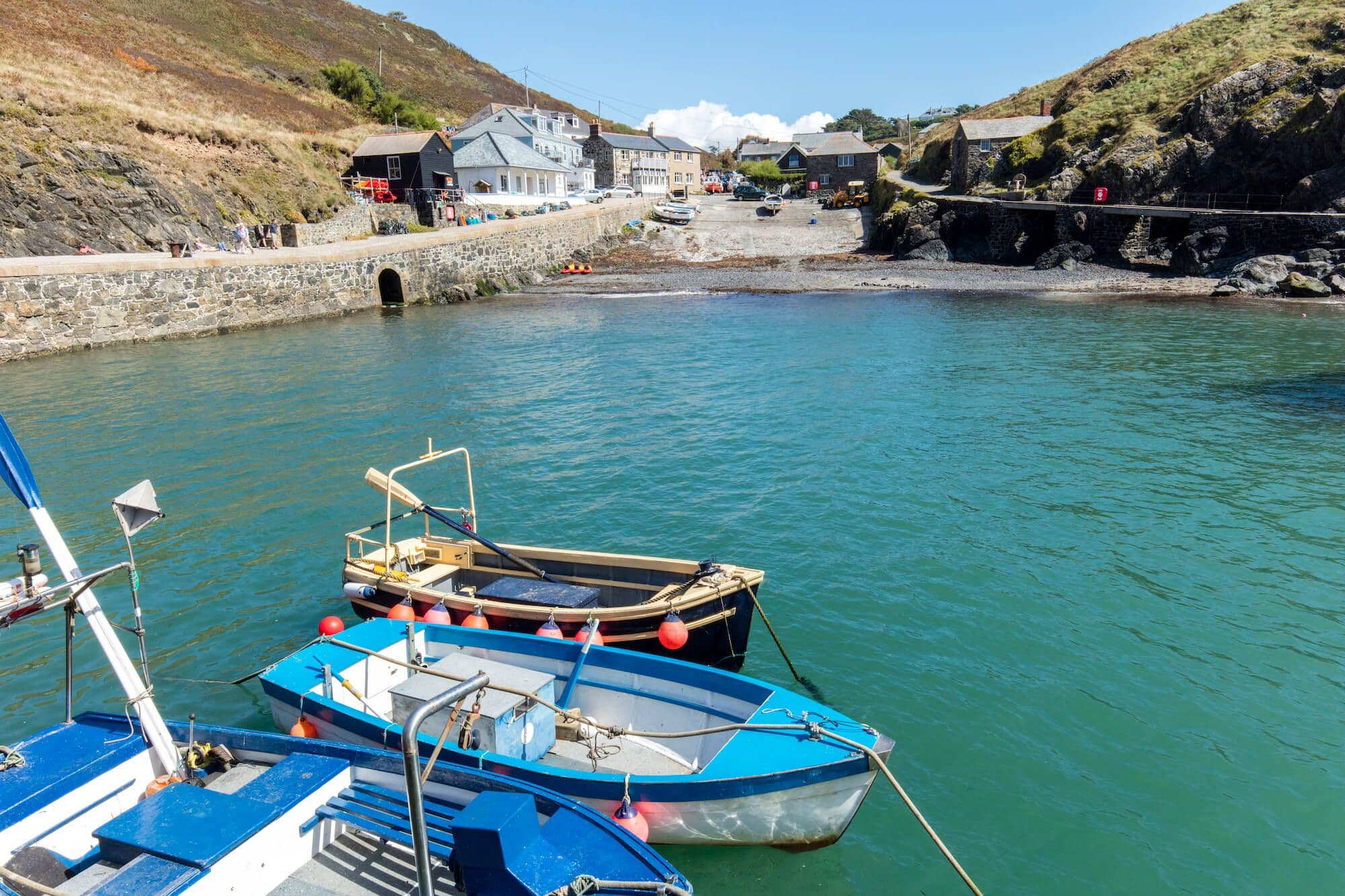
Further down the coast lies Tintagel with its ruined medieval castle and early Celtic monastery. Then the land sweeps around westwards to where the villages of Port Isaac and Port Gaverne, nestle into the cliffs.
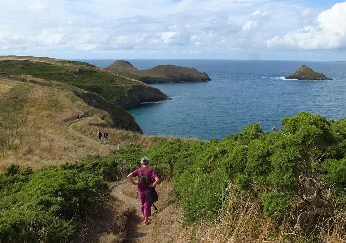
Past Port Quin comes the vast promontory of The Rumps. The distinctive bulbous rocks here are largely of pillow lava (telling us that these cliffs were once underwater) and have been used to create many of the local Cornish hedges.
Finally, at Pentire Point, you gaze across the Doombar and the mouth of the Camel Estuary to the fishing port of Padstow and the next section of Cornwall's National Landscape.
- Boscastle / Bude / Tintagel / Port Isaac
Contact

Stay connected
Find us on socials and stay connected with the Cornwall you love.